

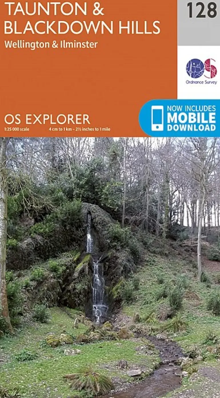


OS Explorer Map 128 – Taunton and Blackdown Hills
£10.16
Most detailed map for outdoor activities.
OS Explorer is the Ordnance Survey’s most detailed map and is recommended for anyone enjoying outdoor activities like walking, horse riding and off-road cycling. The OS Explorer range now includes a digital version of the paper map, accessed through the OS smartphone app, OS Maps. Providing complete GB coverage the series details essential information such as youth hostels, pubs and visitor information as well as rights of way, permissive paths and bridleways.
- Page Size: 137 x 240 mm
- Publisher: Ordnance Survey
- Published Date: September 2015
- Edition: 2015 ed
- Binding: Sheet map (folded)
- Weight: 160g
Be the first to review “OS Explorer Map 128 – Taunton and Blackdown Hills”
Related products


Compasses & Accessories
£29.14


Bottle & Flask Accessories
£3.27


Belay & Protection
£18.50


Bottles, Flasks & Coolers
£10.60


Equipment
£81.62


Climbing Accessories
£12.47


£4.85


Camping
£57.17


Camping
£35.73


Climbing Equipment
£35.50


Climbing Equipment
£78.54


Camping
£24.26


Bottles, Flasks & Coolers
£24.26


£11.37


Equipment
£56.55


£11.64
Login

Reviews
There are no reviews yet.